
Introduction
Jr Geo is a friendly, hands-on approach to teaching young learners the foundations of maps, GPS, and spatial thinking. It mixes playful projects with real tools so students can make maps, collect data, and tell stories about place. This guide explains what Jr Geo is, how to use it in school or at home, and how it builds pathways into STEM and geospatial careers.
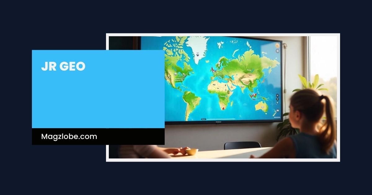
What is Jr Geo?
Jr Geo is an educational concept and toolkit designed to introduce children and beginners to geospatial education. Think of it as GIS for starters: simple mapping exercises, basic GPS lessons, and creative spatial storytelling that build confidence before students move to professional platforms like ArcGIS or QGIS. Jr Geo emphasizes accessibility — low-cost tools, open data sources, and activities that spark curiosity.
Jr Geo isn’t a single product; it’s a curriculum style that teachers, youth leaders, and parents can adopt. It blends classroom-friendly mapping exercises with outdoor fieldwork and digital mapmaking.
Why spatial thinking matters for kids
Spatial thinking is a key skill across science, math, and everyday life. Jr Geo teaches children to:
-
Read and interpret maps.
-
Understand location, scale, and distance.
-
Visualize patterns — where things are clustered or spread out.
-
Make decisions based on geographic data.
Students who practice Jr Geo activities strengthen problem-solving skills and STEM readiness. A child who maps local bird sightings or plots park litter finds patterns, asks questions, and uses data to tell a story — that’s powerful learning.
Core components of a Jr Geo program
A practical Jr Geo program usually has five components:
-
Foundations of Maps: Symbols, legends, compass directions, and scale.
-
GPS & Fieldwork: How to use a basic GPS app to collect locations responsibly.
-
Digital Mapping Tools: Simple introductions to platforms like Google Maps, OpenStreetMap, and beginner-friendly Mapbox tools.
-
Data Visualization: Turning points into patterns — color-coding, basic charts, and map layers.
-
Storytelling & Sharing: Creating a narrative (poster, slideshow, or interactive map) to explain findings.
These components are flexible. A single lesson can focus on compass use; a multi-week club might run a neighborhood mapping project.
Tools and apps for Jr Geo
Jr Geo favors approachable tools that match students’ skill levels:
-
Google Maps: Great for pin-dropping and explaining locations.
-
OpenStreetMap: A community-driven map that students can edit for local features.
-
Mapbox (beginner layers): For simple custom map styling during intermediate lessons.
-
QGIS / ArcGIS (intro): Used sparingly to show professional workflows when students are ready.
-
GPS apps on smartphones: For field data collection with supervision.
-
Drone mapping (introductory): Basic flying for safe, supervised aerial photos in some programs.
Always check privacy and permissions — especially when collecting location data involving minors.
Sample Jr Geo projects
Here are classroom-tested Jr Geo projects that work across ages:
-
Treasure Map Neighborhood Walk (ages 7–10): Students map landmarks and create a treasure hunt using compass bearings and simple legends.
-
Schoolyard Biodiversity Map (ages 9–13): Teams survey plants and insects, recording GPS points to build a biodiversity heatmap.
-
Walkability Audit (ages 12+): Teens map safe/unsafe areas around school and suggest improvements to municipal councils.
-
Historical Maps Remix (ages 11+): Compare old maps with modern ones to see how a town changed — great for local history.
-
Community Asset Map for Social Good (ages 13+): Students map food banks, clinics, and transit stops to support neighborhood planning.
Each project combines fieldwork, digital mapping, and a final presentation — exactly the Jr Geo formula.
Teaching tips for Jr Geo
-
Start with paper maps. Before screens, let students draw and use compass directions.
-
Use storytelling. Let kids explain their maps in their own words — makes learning stick.
-
Keep tech optional. Not every session needs a device; balance screen time with outdoor observation.
-
Scaffold skills. Introduce concepts gradually — symbols first, then layers, then basic analysis.
-
Promote safety and privacy. Teach kids why some location data should stay private and how to ask permission.
These approaches keep Jr Geo engaging and age-appropriate while reinforcing digital literacy.
Pathways from Jr Geo to careers
Jr Geo creates a natural pathway into geospatial careers. Students who explore Jr Geo may later study:
-
Cartography and GIS analysis (ArcGIS, QGIS).
-
Remote sensing and satellite imagery analysis (NASA tools).
-
Urban planning and environmental science (USGS data usage).
-
Location-based software development (Mapbox, Google Maps APIs).
-
Drone surveying and photogrammetry.
Even basic Jr Geo projects teach data habits, visualization skills, and collaborative methods that employers value.
Assessing learning and impact
Assessment in Jr Geo should be practical:
-
Portfolio of maps: Collect student maps over the year.
-
Project presentations: Evaluate clarity of story, use of evidence, and problem-solving.
-
Skills checklist: Compass use, accurate GPS collection, layer creation, basic charting.
-
Community feedback: If students present to a local group, gather responses to measure civic impact.
These simple evaluations show progress without heavy testing.
Conclusion
Jr Geo opens a friendly door to maps, data, and place-based storytelling — ideal for curious kids and beginner learners. Start a small Jr Geo unit this term: plan one outdoor mapping activity, introduce a simple digital map, and let students present their findings. That single step can spark a lifelong interest in geography, STEM, and civic participation.
Also Read:
Frequently Asked Questions
1. What is Jr Geo and who is it for?
Jr Geo is an introductory geospatial learning approach for children and beginners. It’s aimed at classroom teachers, after-school clubs, and young learners curious about maps and spatial data.
2. How can kids learn mapping and GIS with Jr Geo?
Through hands-on projects: paper-map activities, GPS fieldwork, simple digital maps using Google Maps or OpenStreetMap, and guided lessons that build to more advanced tools.
3. What tools and apps does Jr Geo recommend?
Start with Google Maps and OpenStreetMap for accessibility, then introduce Mapbox or simplified QGIS workflows as skills grow. GPS apps on supervised devices let students collect real-world points.
4. Is Jr Geo suitable for classroom use or after-school clubs?
Yes — Jr Geo is flexible. Short lessons work in classrooms; longer community projects fit clubs. Activities can be adapted for different age groups and resource levels.
5. What careers can start from learning Jr Geo skills?
Students can later pursue cartography, GIS analysis, remote sensing, urban planning, software development with maps, and drone surveying. The foundational skills are applicable across many STEM fields.